Photos of the Province of Limburg, the Netherlands

The Province of Limburg
Limburg is the southernmost province of the Netherlands and shares a border with North Brabant to the north west, Gelderland to the north, Germany to the east and Belgium to the south west. It has an area of 2,210 km² and almost 1,150,000 inhabitants.
you may then send it as a postcard if you wish.


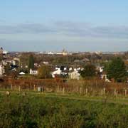
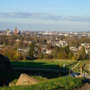
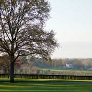

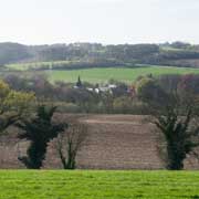


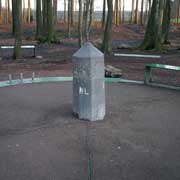

Because of its geographic location and history it has a different feel from the rest of the Netherlands, especially in its south; it has more hills and boasts the highest point of the Netherlands, the 323 metres high Vaalserberg, on the point where the borders between Germany, Belgium and the Netherlands meet: the "Drielandenpunt" ("Three-Country Point"). It has its own language, Limburgish, sharing characteristics between Dutch and German; it is recognised as an official regional language since 1997.
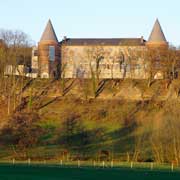
The name Limburg refers to a fortified castle town known as Limbourg, a medieval Duchy now in the Belgian province of Luik (Liège). The current Dutch Limburg however was not a part of it but divided among the Duchies of Limburg, Brabant, Jülich (Germany), Gelre (Gelderland) and the Bishopric of Liège. It was a strategic area and over the centuries ruled by many European powers. In 1815, after the end of the Napoleonic era in France, it was united to the Kingdom of the Netherlands, but when in the Belgian Revolution of 1830 the Catholic and French-speaking Belgians split away from the mainly Calvinist northern Netherlands, the Province of Limburg became at first almost entirely under Belgian rule. However, in 1839 it was divided in two parts, with the eastern part going to the Netherlands and the western part to Belgium, a division that remains to this day.
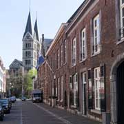
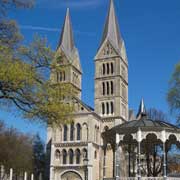
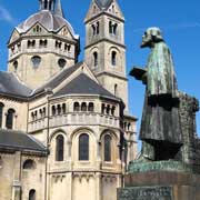
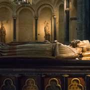
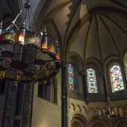
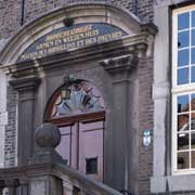
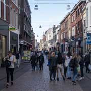
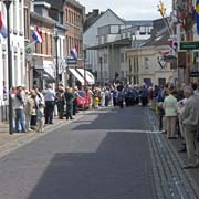
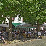
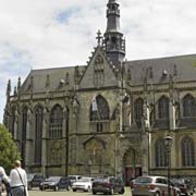
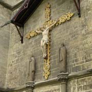
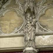
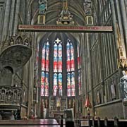
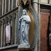
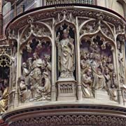
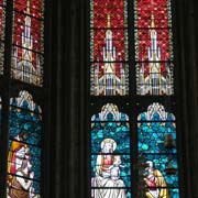
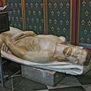
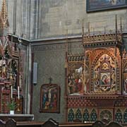
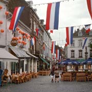
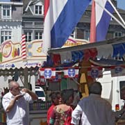
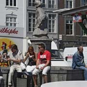
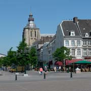
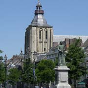
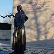
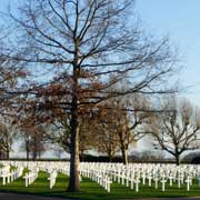
The provincial capital is Maastricht (Mestreech in Limburgish), widely known as a city of history, culture, local folklore and education. Because of its eccentric location in the Netherlands, and being geographically and culturally close to Belgium, Maastricht retained a distinctly non-Dutch appearance during much of the 19th century and only during the First World War, in which the Netherlands remained neutral, the city became closer to integration. It is a very congenial city and popular with tourists. The central square, Vrijthof, with its large basilicas, Sint-Servaas en Sint-Jan, is justly famed. The nearby town of Meerssen has a beautiful basilica (Sint Bartholomeus or Holy Sacrament) with a rich interior. Ten kilometres east of Maastricht is the World War II Netherlands American Cemetery and Memorial to the Americans war dead in the village of Margraten.The city of Roermond (in Limburgish: Remunj), about 50 kilometres from Maastricht, is also historically important and has important churches as well, like the 13th century Munsterkerk on the central square.